Experience Northern Wilderness on the Itijjagiaq Trail
Arguably the most remote section of the Trans Canada Trail, the Itijjagiaq Trail is a 120-kilometre wilderness route on Baffin Island, which connects Frobisher Bay near Iqaluit to Glasgow Bay near Kimmirut. Recommended for experienced and prepared outdoor adventurers only, this trail across Katannilik Territorial Park is intense, wild and rewarding.
Find out what you need to do before embarking on this adventure of a lifetime, and what to look out for on the way.
What to know before you go
Before you set foot on the Itijjagiaq Trail or Katannilik Territorial Park, you MUST register with park staff at the park’s visitor’s centre (the centre’s contact details are here). You must also have your own GPS and safety communications equipment with you on your hike at all times.
Given the wild landscapes and waterways along the Itijjagiaq Trail, you must also be an experienced backcountry hiker.
Another crucial point: The Itijjagiaq Trail is unsigned and unmarked, with snow often dictating where to hike. The only facilities available are a series of warming huts. So, before heading out, prepare yourself with information from a ranger at Katannilik Territorial Park.
If, in any way, you aren’t sure you have enough experience, don’t worry! The Trans Canada Trail has other sections that are suitable for all ages and abilities – just check out our online map.
History of the trail
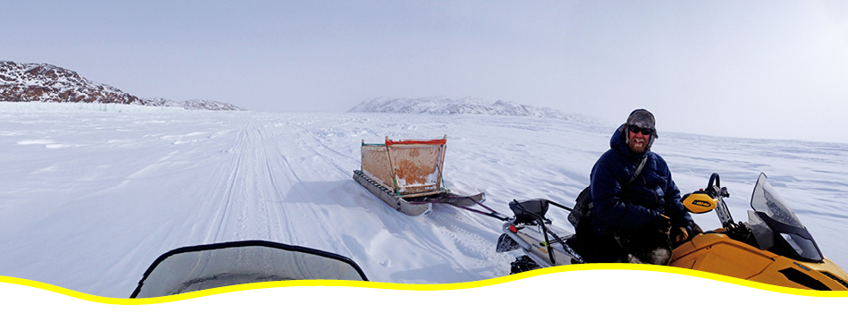
Taking its name from the Inuktitut word for “over the land”, the Itijjagiaq Trail has a rich history among the Inuit on southern Baffin Island. It has long been a traditional route between Iqaluit and Kimmirut, especially in winter, when local snowmobilers use the route to travel between the two communities.
How to explore the Itijjagiaq Trail
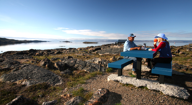
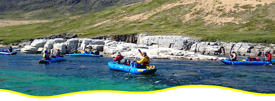
Permitted activities along the Itijjagiaq Trail include walking and hiking in the warmer months, and snowmobiling and dog sledding in winter.
What to look for along the way
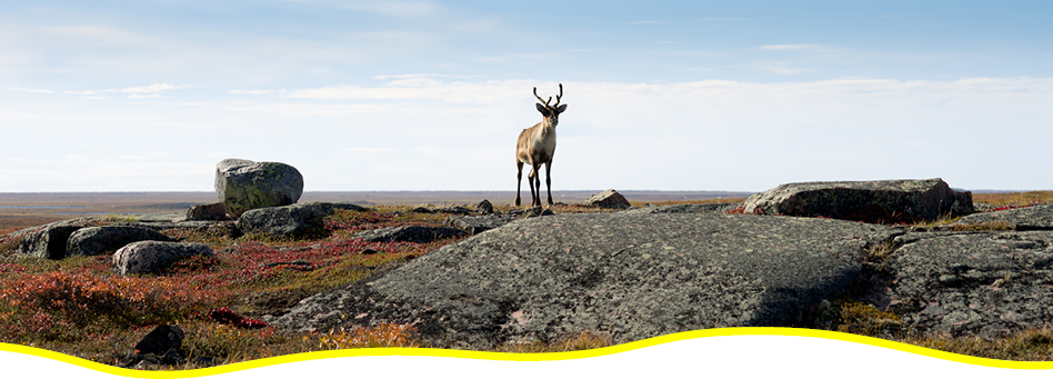
Although the Itijaggiaq Trail is a wilderness trail and one of the northernmost sections of the Trans Canada Trail, the land around it is surprisingly fertile. While flora and fauna are scarce along the Trail on the Meta Incognita plateau, the Soper River valley boasts a unique microclimate, where plant life is lush and plentiful. This is particularly true in the summer, when lucky hikers in the valley might spot flocks of geese and herds of caribou, as well as snowy owls and rough-legged hawks.
The name ‘Katannilik’ comes from the word for ‘the place of waterfalls’, and adventurers may see quite a few on their route near tributaries of the Soper River.
For more information on how to prepare for a hike along the Itijjagiaq Trail, contact the staff at Katannilik Territorial Park.

After each hike, share photos or videos of your adventures with us!
Each photo or video submission gets you an EXTRA entry for even more chances to win amazing prizes.
Upload here or share on social with the hashtag #GreatCanadianHike to participate.
Check out the Prizes up for grabs!